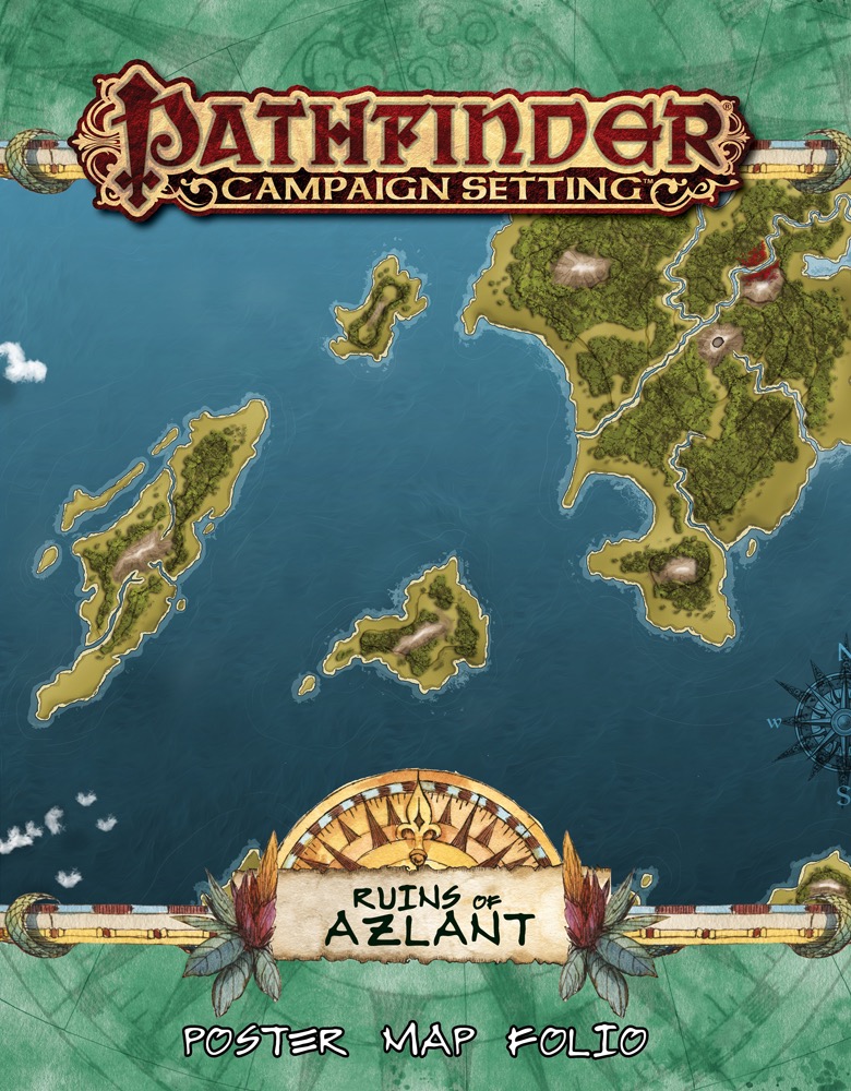
Explore the ruins of a shattered continent, the fabled lost Azlant, with the Ruins of Azlant Poster Map Folio. Pore over masterful cartography and plan exciting adventures with these three massive poster maps designed for use with the Ruins of Azlant Adventure Path.
These huge, lavishly illustrated poster maps depict major locations found in the Ruins of Azlant Adventure Path. The first map is a player-oriented nautical map of the islands in the region of broken Azlant, where the campaign unfolds. The second map depicts the underwater town of Talasantri, and the third map, labeled to assist Game Masters, shows the islands that make up the setting for the Ruins of Azlant campaign.
Whether you're looking for a group of remote islands rich for adventure, player handouts, or an exotic aquatic locale, these beautiful maps are the perfect resource for the Ruins of Azlant Adventure Path or any fantasy campaign.
First up, the description says "huge". Two of the maps only had two folds (so twice the height and width of a rulebook). The third is big, and I wouldn't complain if the advertising folks said "huge"... but to call them "huge" and "lavishly illustrated"? That's just downright misleading. They're small-medium at best, and the illustrations on two of them would easily fit on a map 1/4 the size.
Individually...
Player Map of the Region (small)
Looks nice, quite stylized... but totally useless for the campaign if you have the PDF of the AP and a printer - just turn the map labels off and there you have it. Not large enough to be impressive when hung on a wall, not detailed / zoomed in enough to really do anything with it as they explore the islands.
This is not a sea-going campaign, so knowing where to navigate your ship to is kinda useless.
GM Map of the Region (small)
Covers exactly the same region as the player map. There are 7 total labels on it, only 2-3 of which should be kept from players (and even then, they're just arrow labels for locations that aren't even on the map). It is an almost exact reprint of the first map you see in the AP (which is easy to find, just inside the front cover). How is this useful for GMs in any way?
Map of Talislantri (large)
Great looking map and the location has been well chosen... and would be totally useful if it had the key locations labeled. As is, I'll be hunting for the locations as we go anywhere in Talislantri. I could write the locations in, but I don't feel like defacing my maps. Maybe I will, though... and then throw them all away when the campaign is done.
Overall
Misleading information in the description, and very poorly thought out maps. Don't buy, unless you have a penchant for medium-sized maps that duplicate the same region and a large map with no labels. Save your money for something else.
Paizo, if you want some advice on what could have been improved? Label the large map. Make the other maps the same size. Put in the Talamandor's Bounty map for the first AP, since that's where the characters will be spending most of their time, and actually expand the Ruins of Azlant GM map to include the locations that there are arrows to - instead of just reprinting the one from the AP itself. Really think about your map packs from a GM and player perspective. Will they want to have them open for at least the majority of a book? If the answer is no, try something else.
My initial thoughts on the map folio are from using the PDF version.
The stylized map of the Ruins of Azlant region is the highlight of the package. Useful for annotation as the players progress.
The GM's map of the region seems underbaked. The names of the major islands, and a couple of arrows pointing to Talisantri and elsewhere. Not sure what use this would be. It would have been far more useful if the locations from each book of the AP were labelled, 1A–Z, 2A–Z, etc, so that the GM could see where everything takes place.
Lastly the map of Talislantri. Almost completely unlabelled, I'm not sure what this is intended to be used for? Not enough information for the GM or the players, unless you intend to write locations onto the map.
The lack of layers in the PDF is a problem as well, as it would have been possible to create GM, player, and display versions of maps, simply by toggling sets of labels.
I've listened to a lot of the conversation about these products and have taken it to heart when planning out this Map Folio. I really hope everyone enjoys this one. I know I can't please everyone, but that's not gonna stop me from trying. :)
I've listened to a lot of the conversation about these products and have taken it to heart when planning out this Map Folio. I really hope everyone enjoys this one. I know I can't please everyone, but that's not gonna stop me from trying. :)
Thanks, Adam. The choice for the three maps sounds perfectly logical, assuming that book 1 (and parts of book 2) take(s) place in "Talmandor's Bounty", book 3 has a dungeon and book 4 the underwater town of "Talasantri".
Personally i think one of the three poster maps should always be a player friendly overview map (assuming the AP takes place in a larger region),
another one should always be the (labeled but spoiler-free) starting settlement (if there is one) and the third one could be decided on a case to case base, preferably another settlement map which is needed for one of the first four books.
All that is the case here, which makes me very happy. :-)
I´m also glad that we´ll get a Campaign Setting product in january. ;-)
My only issue with these maps (so far) is the placement of Talmandor's Bounty on the colour map of the region, which clearly places it a significant enough distance further north than the maps in the books to be quite noticeable.


 Marco Massoudi


